

Portfolio
A selection of our projects
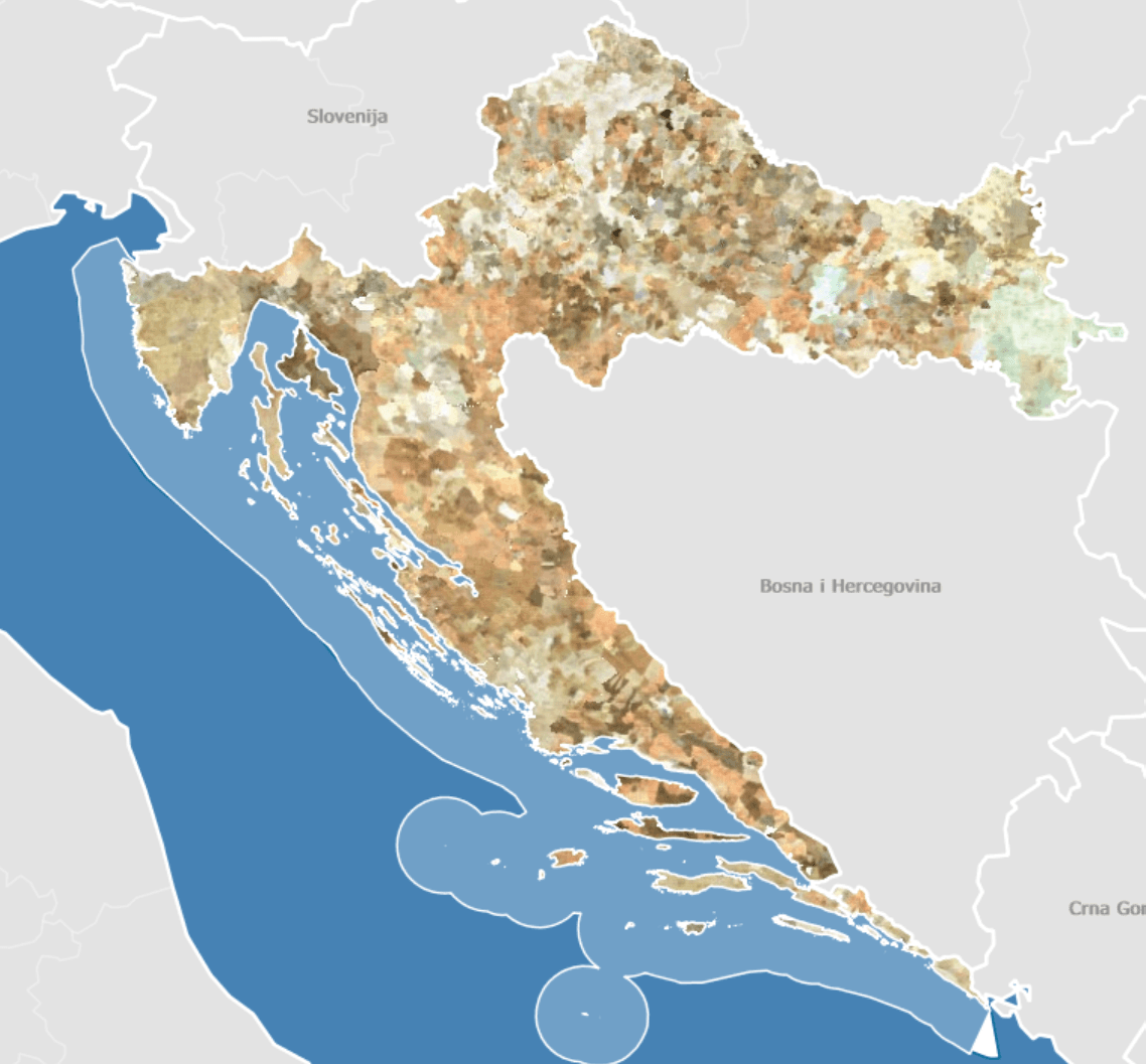
Georeferencing and mosaicking of scanned cadastral maps
Georeferencing, clipping and merging scanned cadastral maps for the whole of Croatia
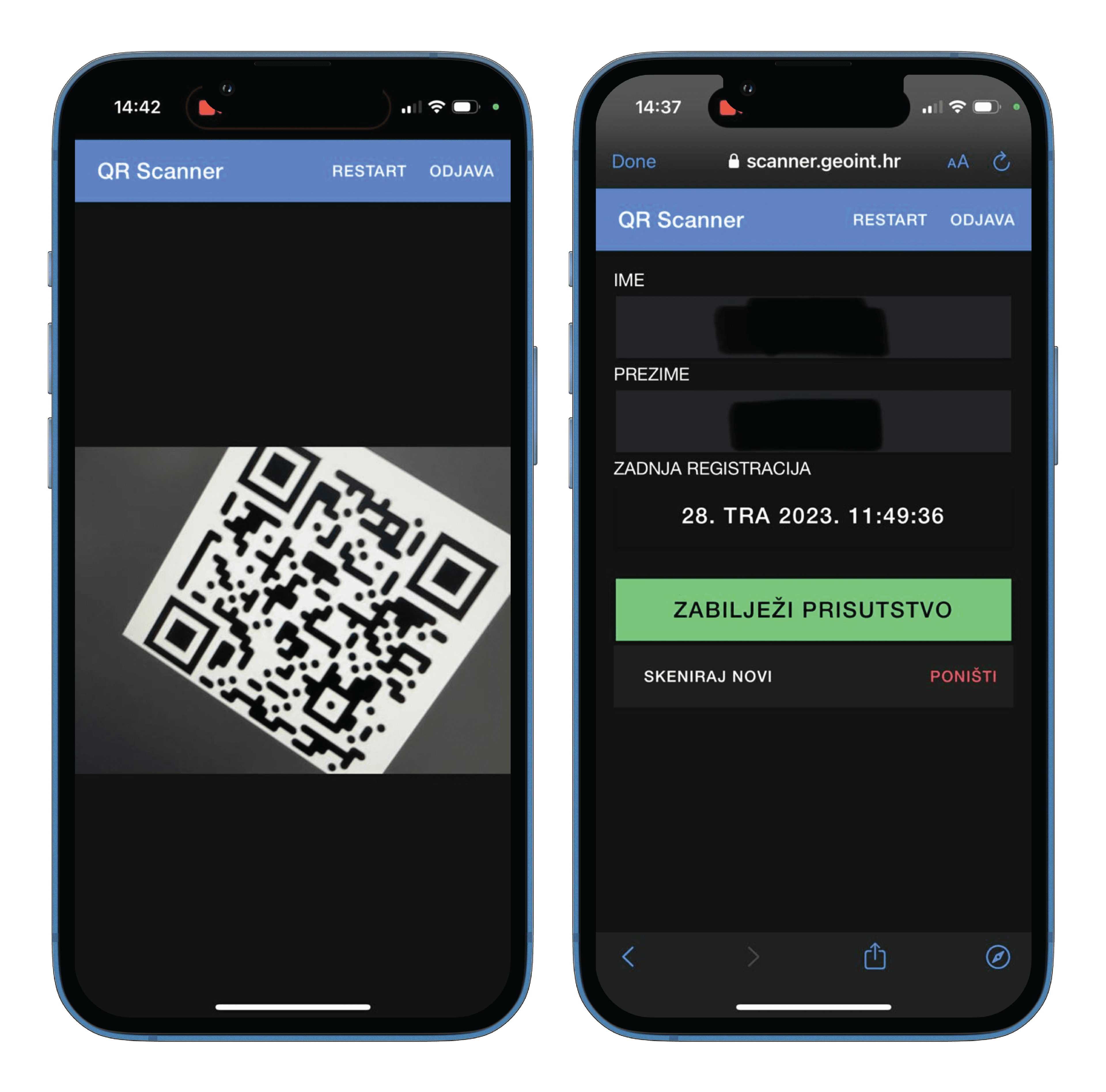
QR-code attendance tracking at CROSS 18
The app registers every participant arrival, enabling fast attendance tracking with minimal effort from staff
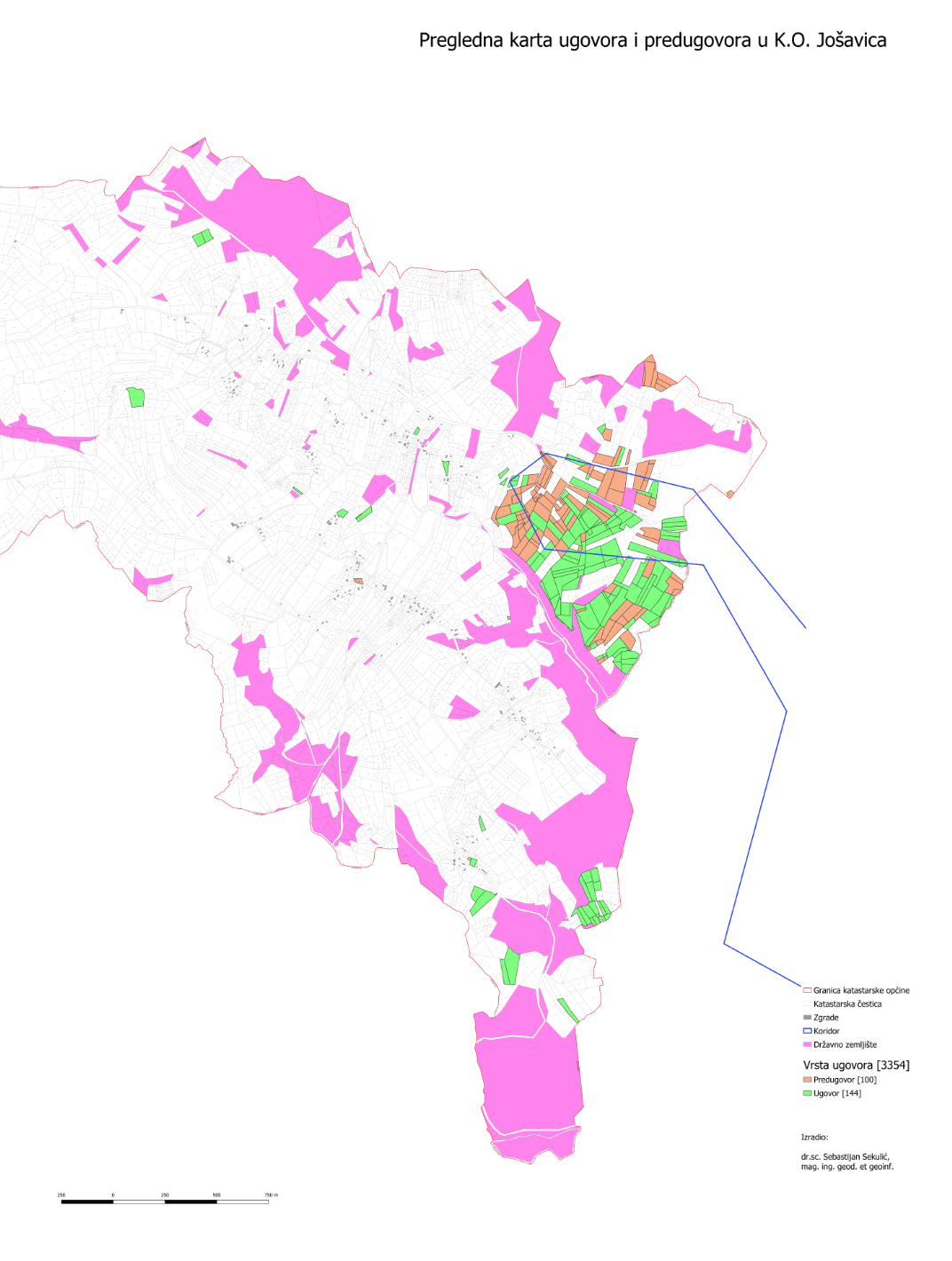
Cartographic presentations of cadastral parcels
Various map presentations tailored to client needs, including data collection
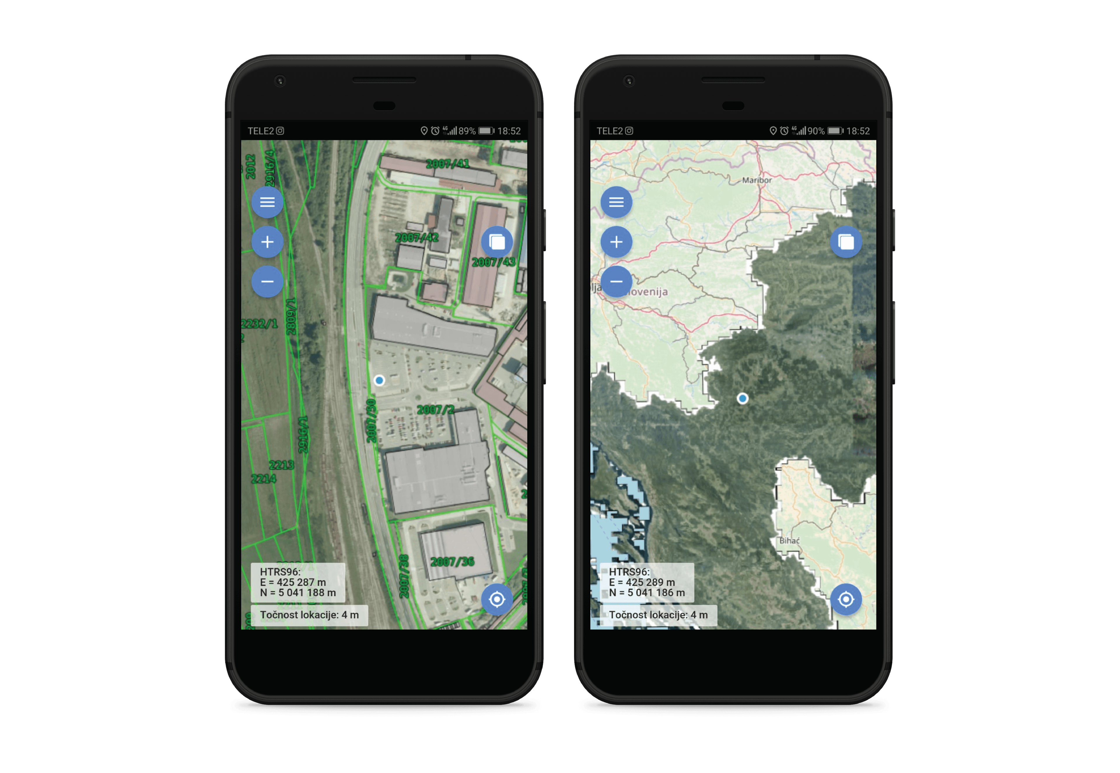
GI Lokator
Real-time location display on various basemaps such as cadastral maps or spatial plans
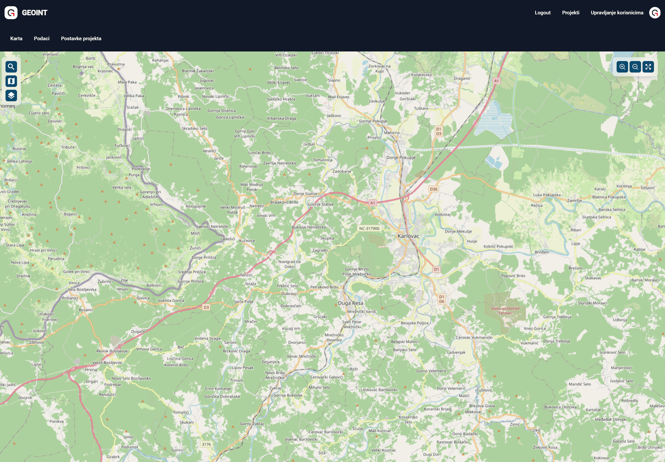
GI Web GIS
Manage your spatial data through projects, using your own or publicly available data