

Geoportal of the Sisak-Moslavina County Institute for Spatial Planning
A public geoportal bringing spatial plans and cadastral data together in one place — developed in cooperation with GEOSOFT d.o.o.
Visit the project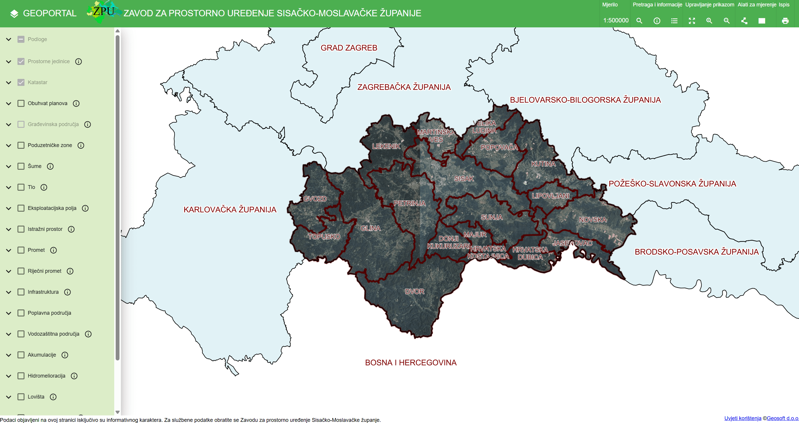
The challenge
Spatial plans of the county, its towns and municipalities were produced over decades on paper and as raster scans, scattered across different institutions. Citizens, investors and local government units needed simple, public access to the plans — without office visits and leafing through paper maps.
The solution
In cooperation with GEOSOFT d.o.o. we are developing a geoportal that brings together the county's spatial plans, cadastre, building areas, business zones and other spatial layers. The plans are georeferenced and served through standard WMS services, with tools for search, measurement and printing.
The result
Publicly available access to spatial plans for everyone — from citizens checking the land-use designation of their parcel to investors and officials who work with the plans every day.
Technologies used
- Web GIS
- Geoportal
- Spatial plans
- WMS
Have a similar project or idea?
Contact us