

Cartographic presentations of cadastral parcels
Various map presentations tailored to client needs, including data collection
The challenge
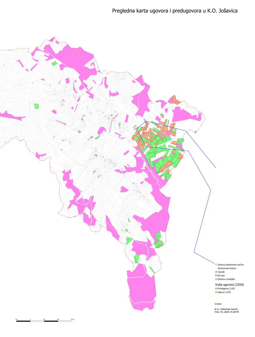
Documentation, planning and presentations all call for different cartographic views of cadastral parcels — every client has their own requirements for content, scale and map style.
The solution
We produce map presentations tailored to the client: official basemaps such as the cadastral map and digital orthophoto are combined with data collected for the specific purpose, and recurring print layouts are automated in QGIS.
The result
Finished, consistently styled map products ready for reports, project documentation and presentations.
Technologies used
- QGIS
- Cartography
- Cadastre
Have a similar project or idea?
Contact us